About
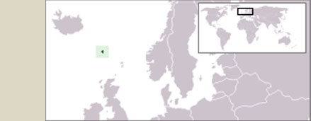
The Faroe Islands are located on the southern boundary of the European Arctic and on a major gateway towards the Arctic. More than 75% of all the waters reaching the Arctic pass by the Faroes and the atmosphere also has a major transport route towards the Arctic in this region. Environmental data from the Faroese area, marine as well as terrestrial, are therefore of large interest to both the scientific community and to organizations involved in environmental monitoring and assessment. In order to provide a more direct and user-friendly access to the environmental data gathered in the region, three Faroese institutions, involved in this activity, maintain ENVOFAR.
Data
ENVOFAR is intended to have an open framework, which can be expanded with new parameters. Most data can, however, be grouped into one of three categories. Please click on the type of data you would like to explore.
More details on parameters included within each of these categories are found on the sites containing the data.
Data policy and access
All data that are acquired by the participating institutes and others, which are deemed of general environmental interest, will go to ENVOFAR, where they will be freely available to anybody interested, but should be acknowledged by reference to the data generating institution.
Organisation
ENVOFAR is a collaboration between the following Faroese institutions:
- Firum (Aquaculture Research Station of the Faroes)
- Umhvørvisstovan (Environment Agency)
- Havstovan (Faroe Marine Research Institute)